Log in
All resources
Create a design
38,808 Free Images of 1876 Maps
maps made in the 17th century
gerard valck
maps by pieter schenk (i)
atlantis magni tomus quartus (biblioteca comunale di trento)
maps made in the 18th century
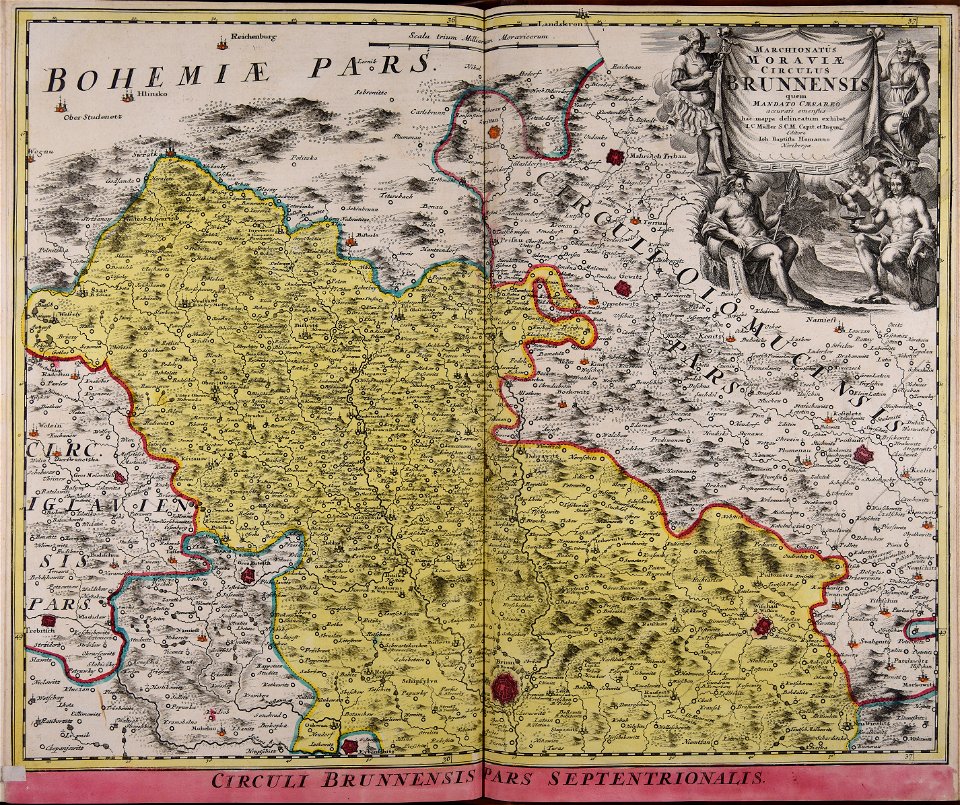
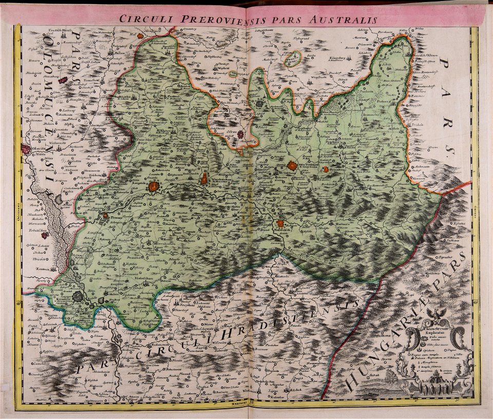
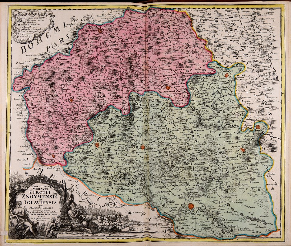
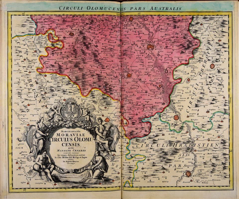
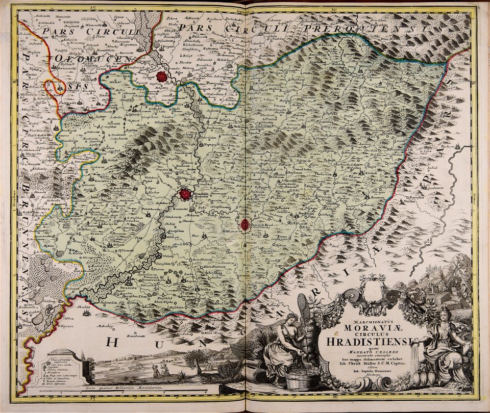
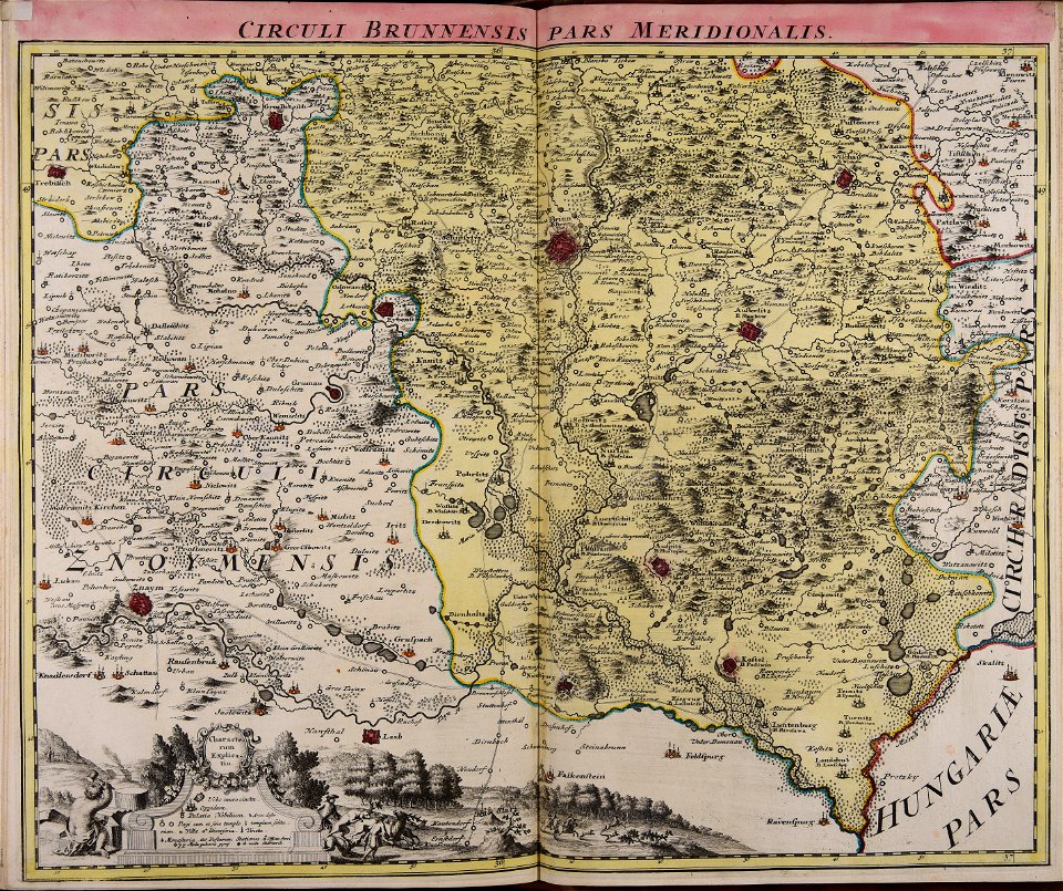
johann baptist homann
atlantis magni tomus quintus (biblioteca comunale di trento)
atlantis magni tomus tertius (biblioteca comunale di trento)
old maps of moravia
johann christoph müller
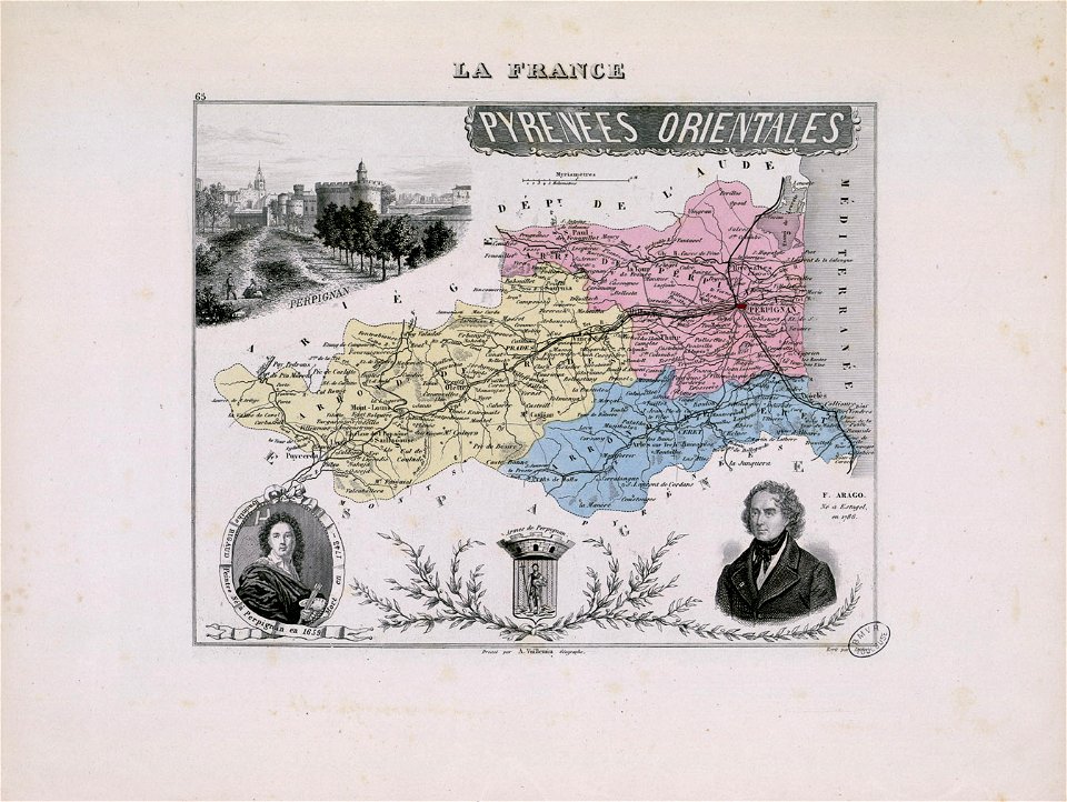
hyacinthe rigaud
françois arago
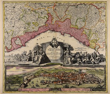
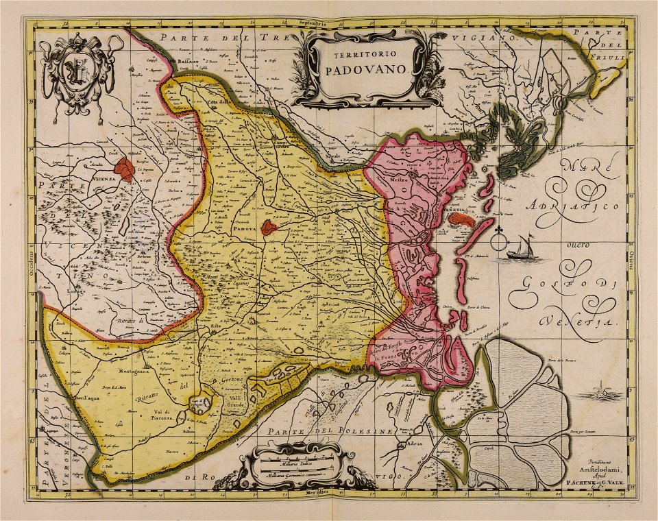
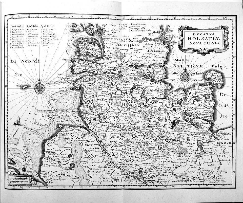
maps made in the 17th century
gerard valck
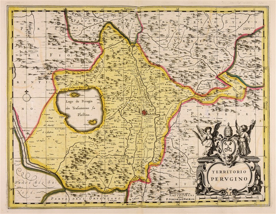
maps made in the 17th century
gerard valck
maps showing history
corfu
maps made in the 17th century
gerard valck
maps made in the 18th century
johann baptist homann
maps made in the 18th century
gerard valck
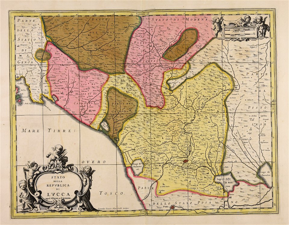
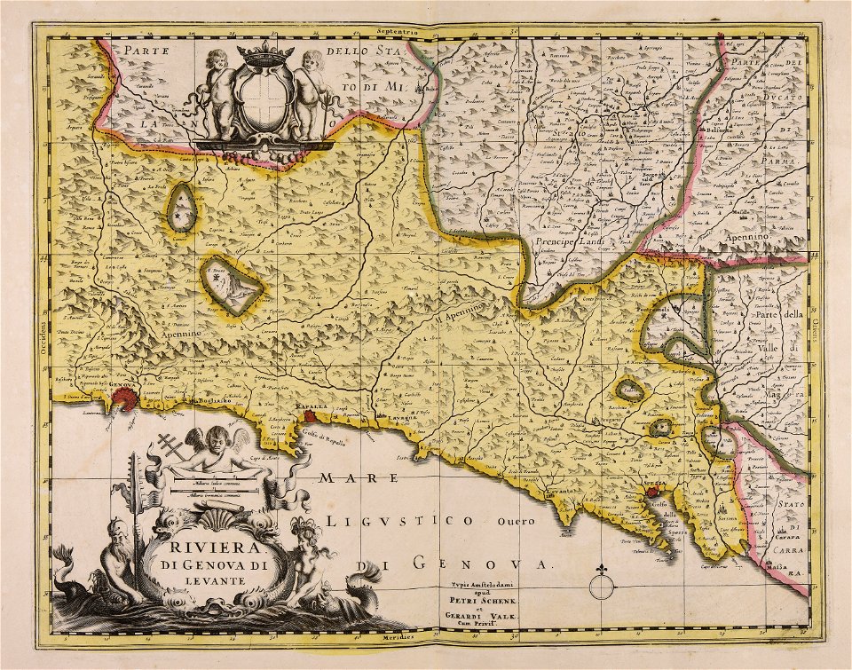
republic of lucca
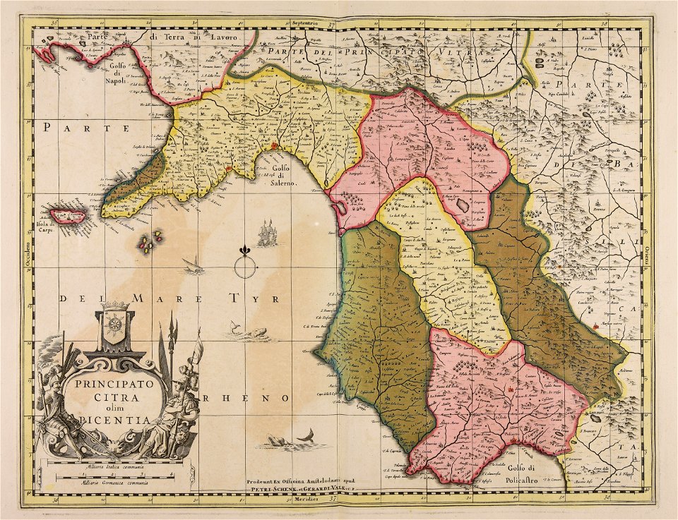
gerard valck
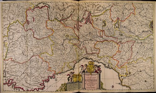
maps made in the 17th century
gerard valck
maps made in the 17th century
gerard valck
maps made in the 17th century
gerard valck
maps made in the 17th century
gerard valck
maps made in the 17th century
gerard valck
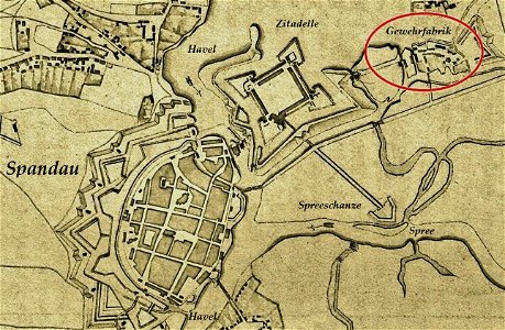
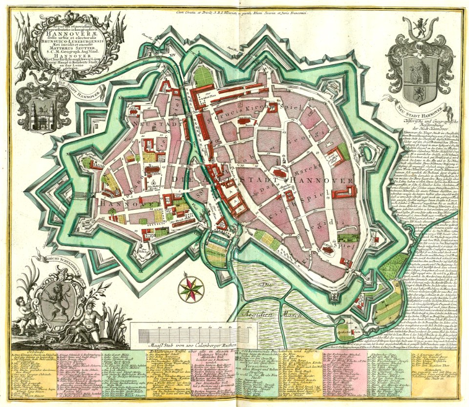
historical documents of the spandau citadel
festung spandau
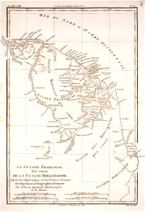
1780 in south america
1780 maps
atlantis magni tomus quartus (biblioteca comunale di trento)
maps made in the 17th century
engravings of topographia saxoniae inferioris
maps of hamburg-langenhorn
maps made in the 17th century
gerard valck
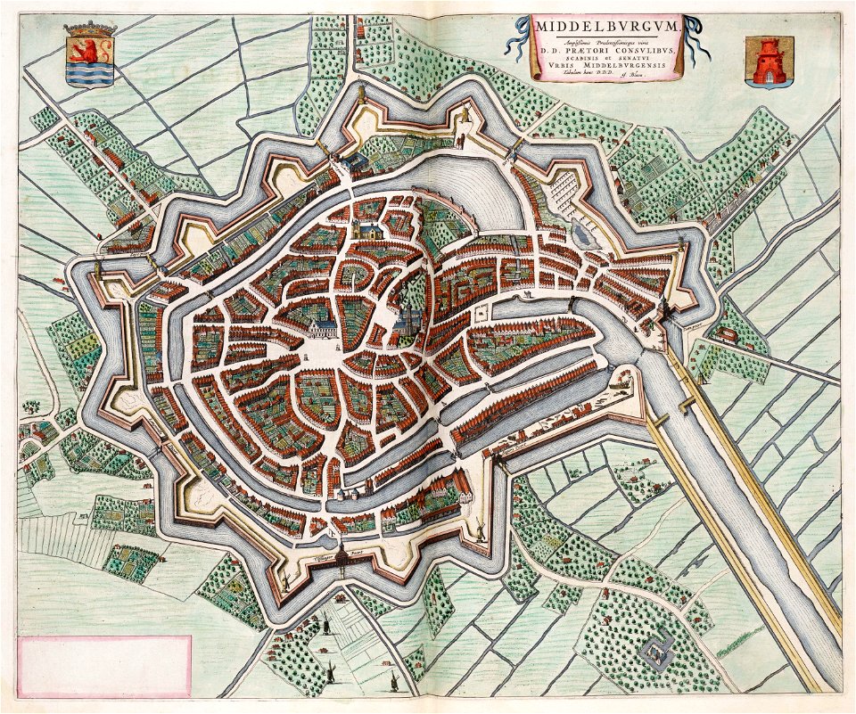
maps by willem and johannes blaeu
coats of arms of zeeland
maps made in the 17th century
gerard valck
maps made in the 17th century
gerard valck
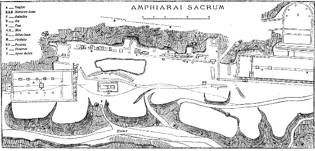
paulys realencyclopädie der classischen altertumswissenschaft band i
2
maps made in the 17th century
gerard valck
prints from manesson travaux de mars at the peace palace library
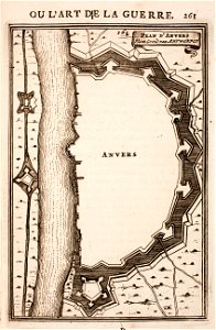
fortifications in belgium
maps made in the 17th century
gerard valck
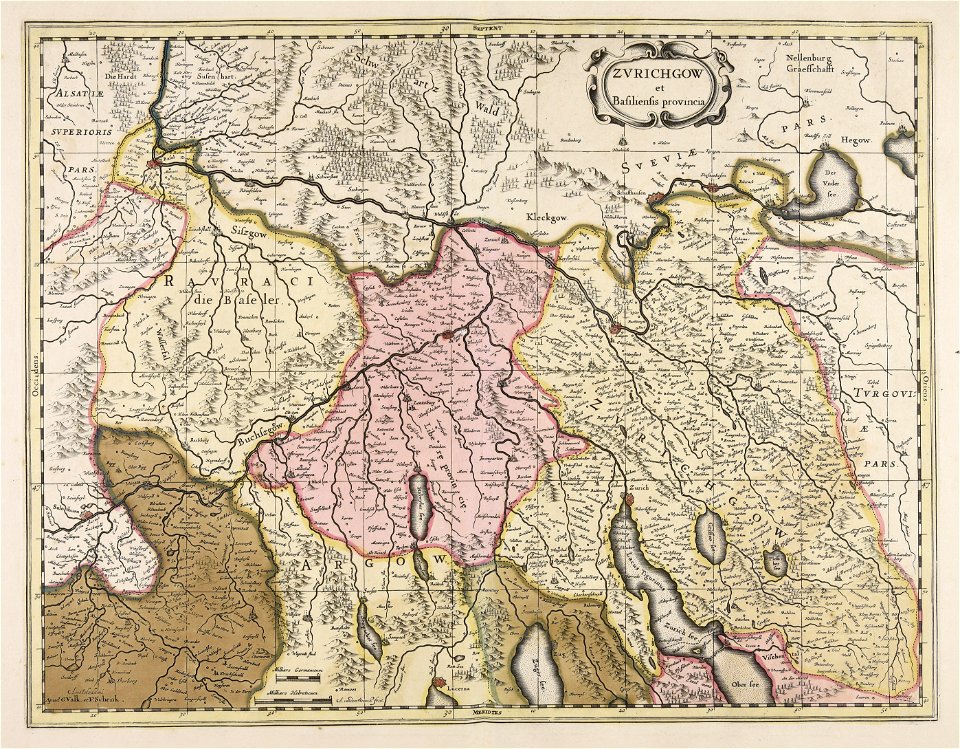
history of zürich
engraved maps
maps made in the 17th century
gerard valck
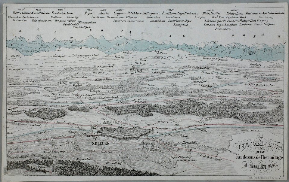
historical images of solothurn
eiger
temperance movement
jr
maps made in the 17th century
gerard valck
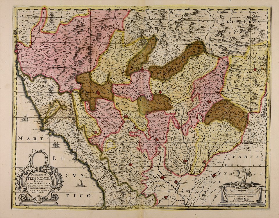
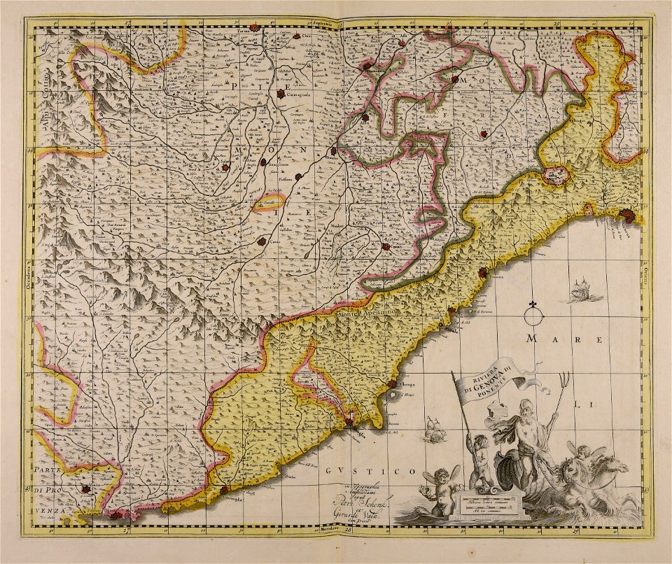
piedmont
lombardy
maps by pieter schenk (i)
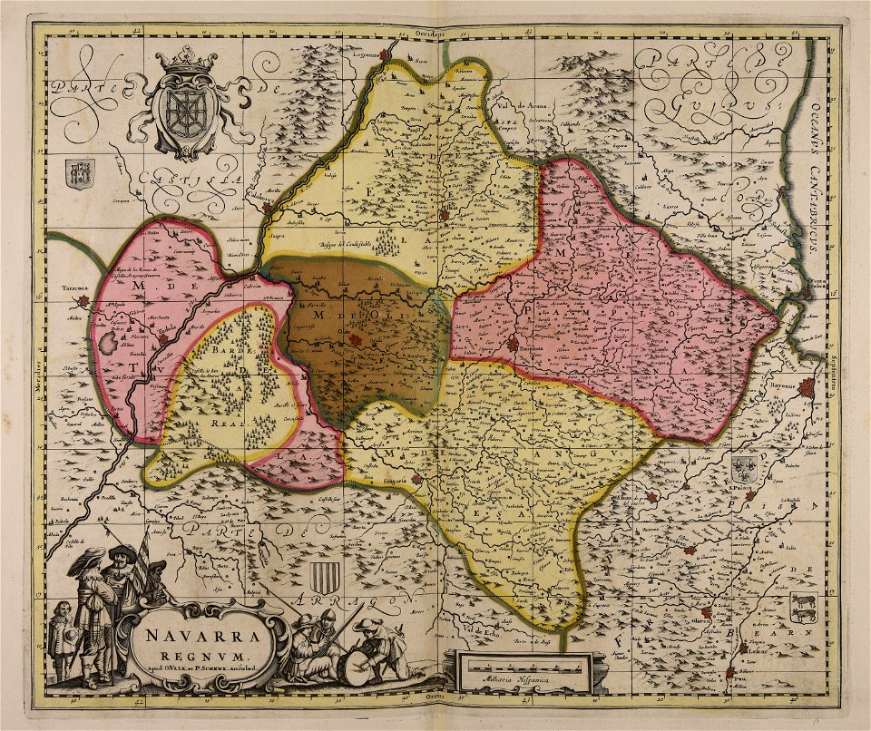
gerard valck
maps by pieter schenk (i)
gerard valck
maps made in the 17th century
jan janssonius
nouvelle géographie universelle, vol. xii
charles eugène perron
nouvelle géographie universelle, vol. xii
charles eugène perron
nouvelle géographie universelle, vol. xii
charles eugène perron
nouvelle géographie universelle, vol. xii
charles eugène perron
nouvelle géographie universelle, vol. viii
1876 maps of india
coats of arms of cities in alpes-de-haute-provence
pierre gassendi
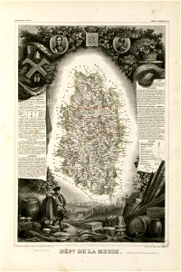
coats of arms of cities in meuse
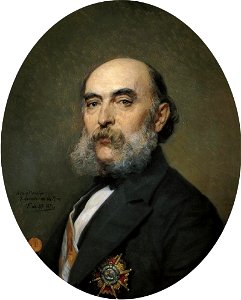
nicolas oudinot (1767–1847)
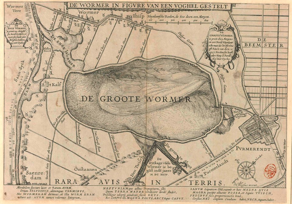
animal shape
purmerend
copper engraving
maps
dendermonde
lillo
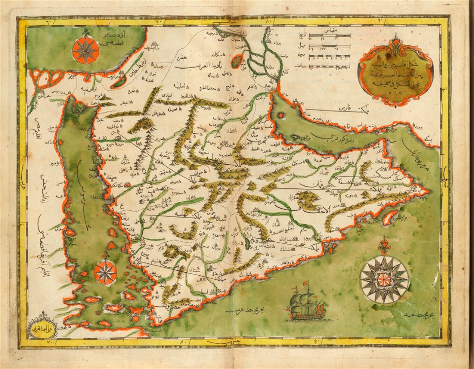
old maps of the middle east
harvard university
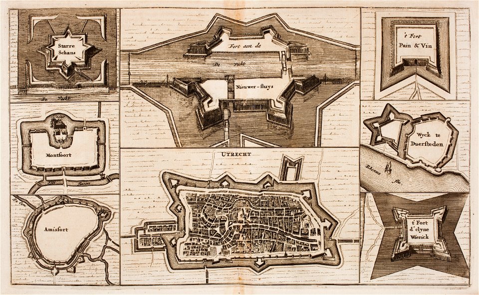
fortifications in the netherlands
wijk bij duurstede
maps from the mechanical curator collection available to georeference
maps from the mechanical curator collection
new market square in rzeszów
maps of 18th-century europe
19th-century oil on canvas paintings in france
1870s paintings from france
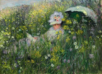
paintings of recumbent women on the ground outdoors
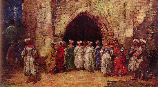
1876 paintings
arkitektur og design
studies (art)
paintings of le port-marly by alfred sisley
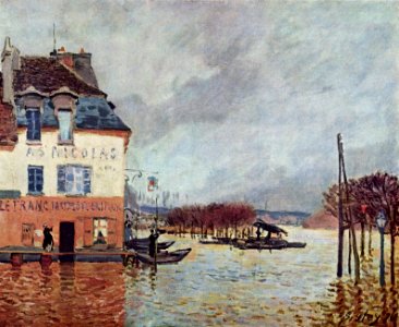
floods in art
frankfurter weihnachtsmarkt
römerberg
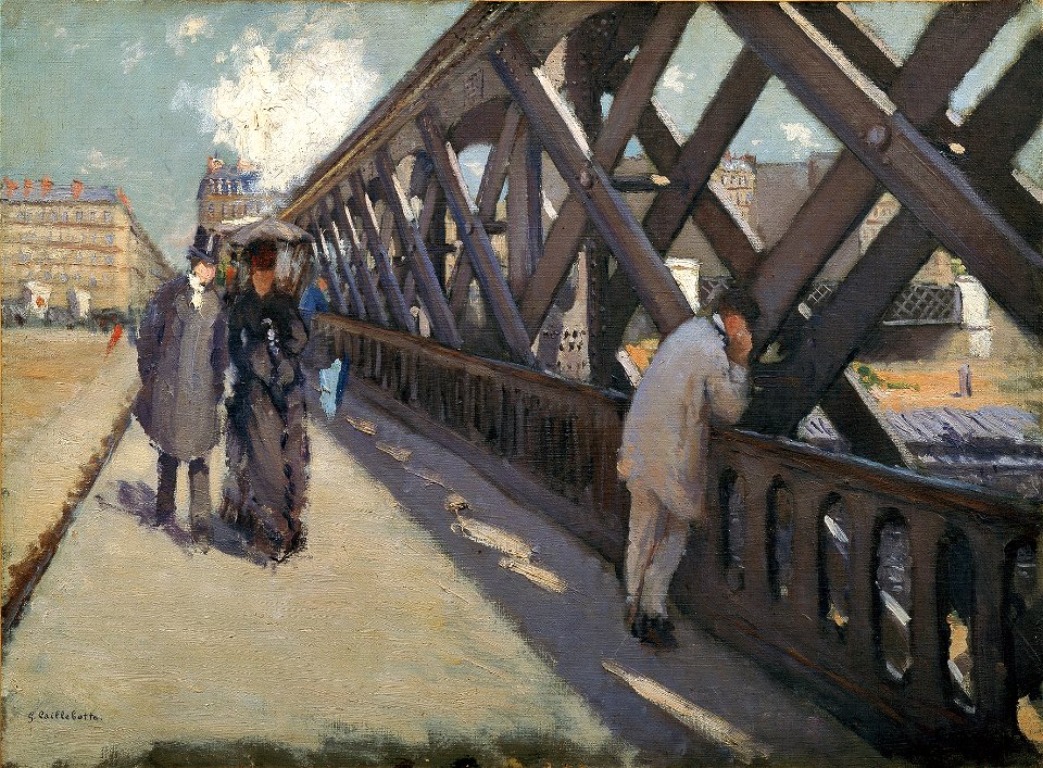
paris in the 1870s
bridge of arts
african americans in 19th-century art
1876 paintings
1870s paintings from france
1870s still-life paintings
19th-century religious paintings in slovenia
altar paintings in slovenia
vanity fair
1871
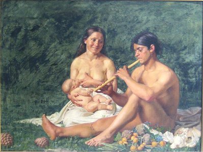
19th-century paintings of breastfeeding
jubal
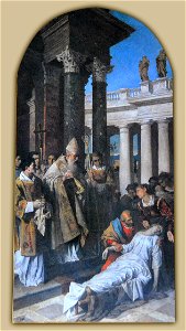
19th-century portrait paintings in the royal academy of fine arts of san fernando
josé amador de los ríos
nouvelle géographie universelle, vol. xii
charles eugène perron
nouvelle géographie universelle, vol. xii
charles eugène perron
lithographs of paris
grand châtelet
the geographical distribution of animals (book)
maps of ecozones
crowned eagles argent
pictorial maps
russo-turkish war (1877–1878)
old maps of europe
norwegian north-atlantic expedition (1876-1878)
old maps of jan mayen
francis d'avignon
george hayward
francis d'avignon
george hayward
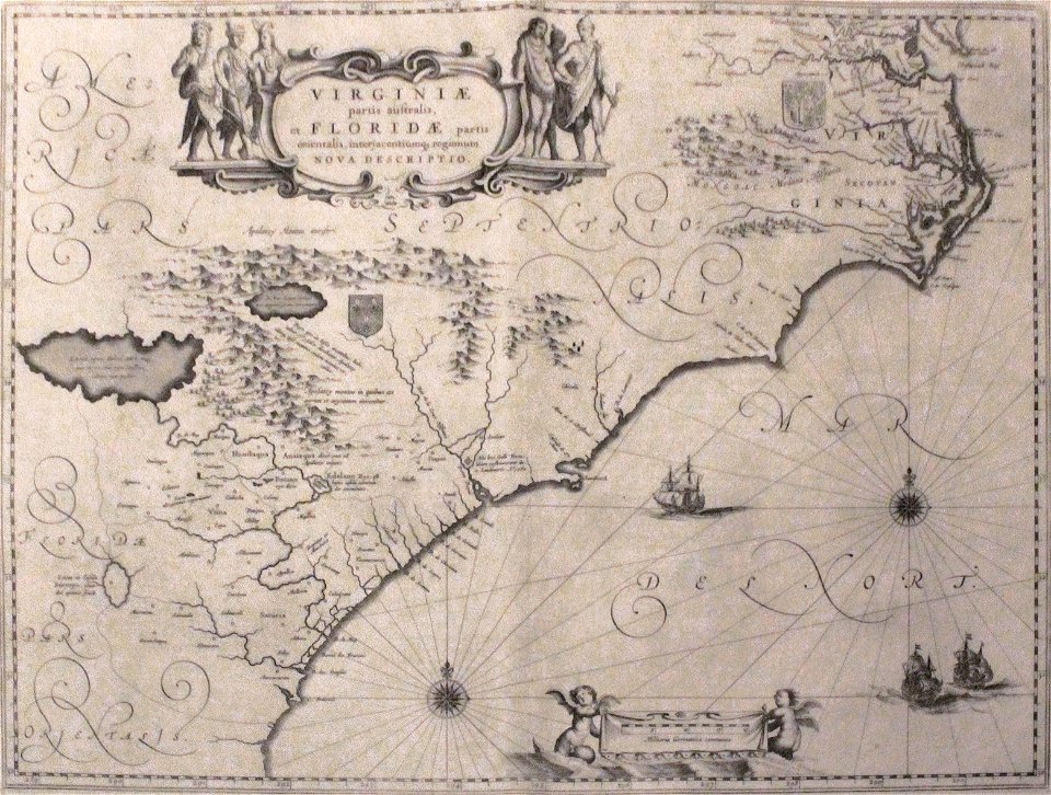
old maps of florida
madrid
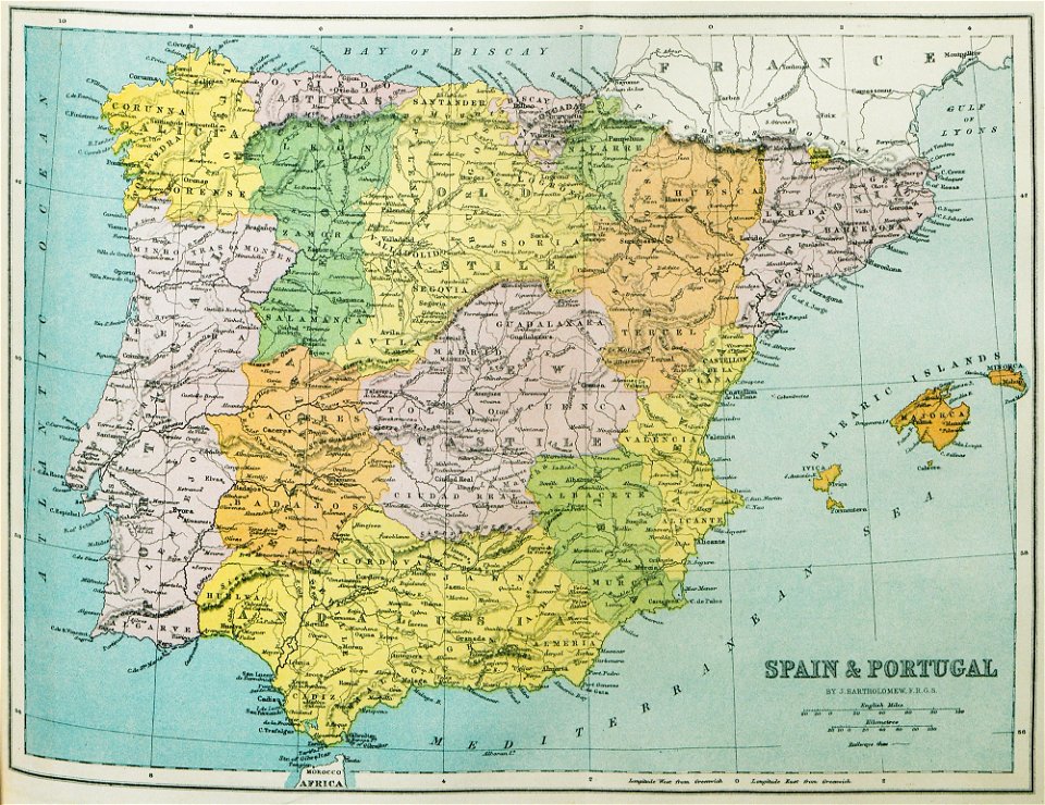
old maps of the iberian peninsula
1870 in spain
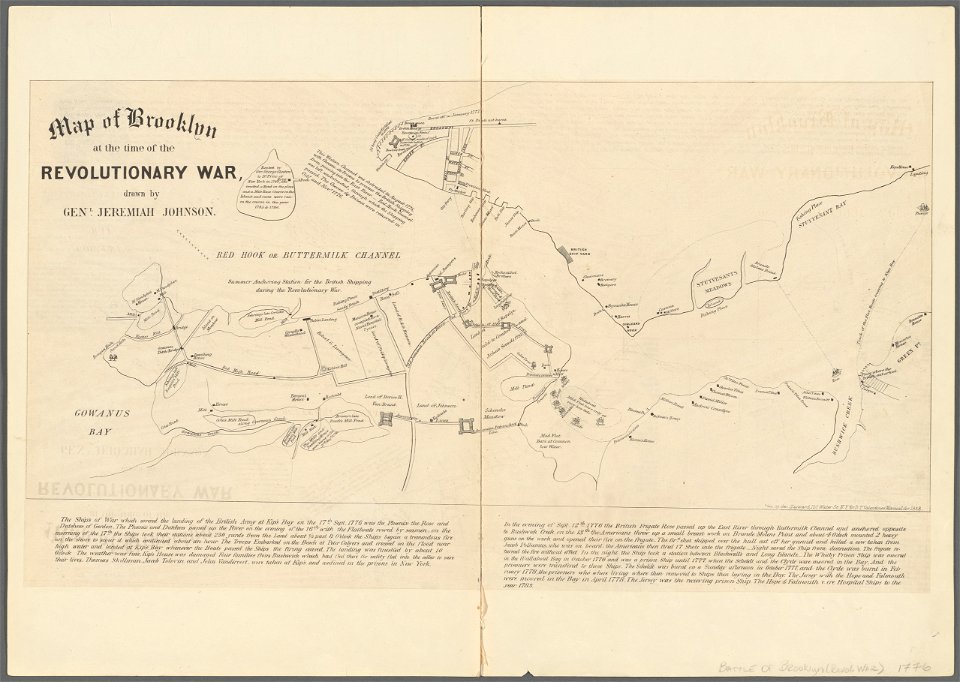
battle of long island
new york city
fort zeelandia, taiwan in art
siege of fort zeelandia
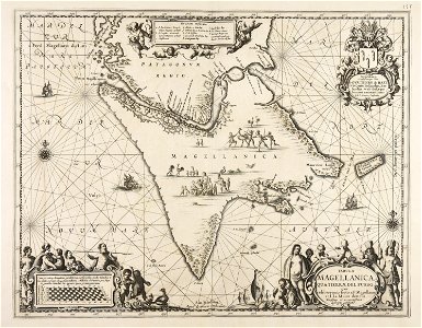
maps made in the 17th century
cornelis danckerts (i)
maps made in the 17th century
nicolaes visscher ii
johann baptist homann
1717
works by clement de jonghe
historical views of paris
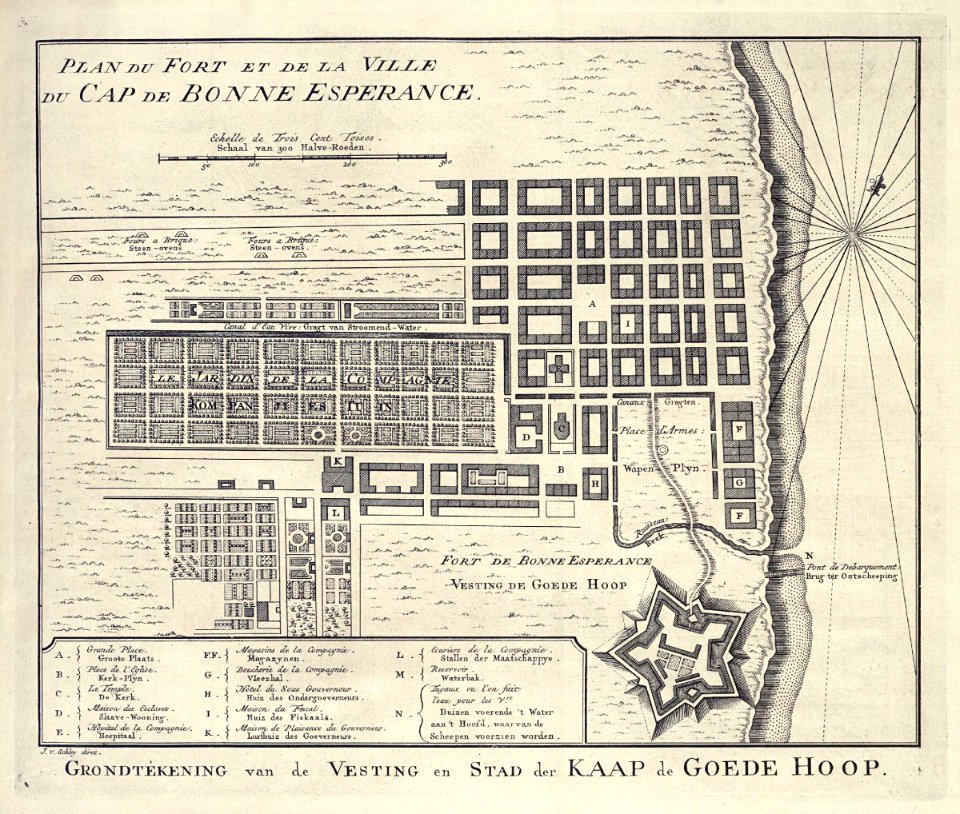
grand parade
cape town
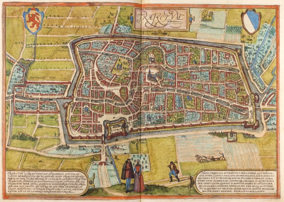
old maps of utrecht (city)
braun & hogenberg
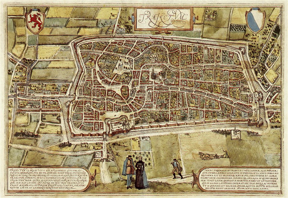
old maps of utrecht (city)
braun & hogenberg
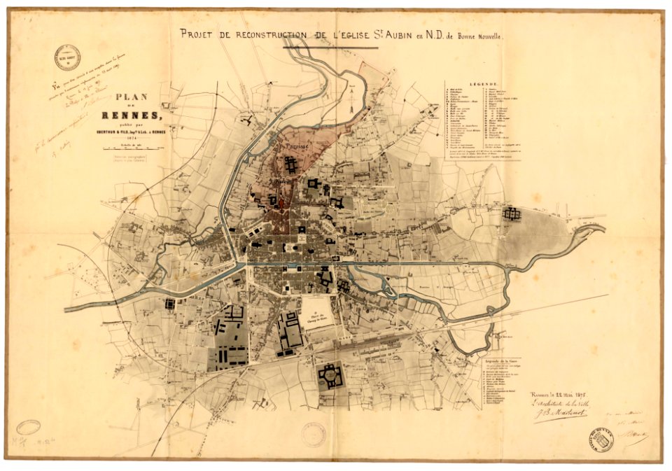
jean-baptiste martenot
1875 maps
maps from the mechanical curator collection
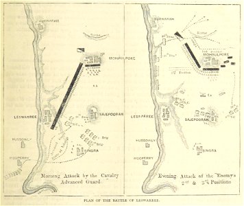
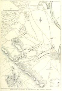
british battles on land and sea
maps from the mechanical curator collection
british battles on land and sea
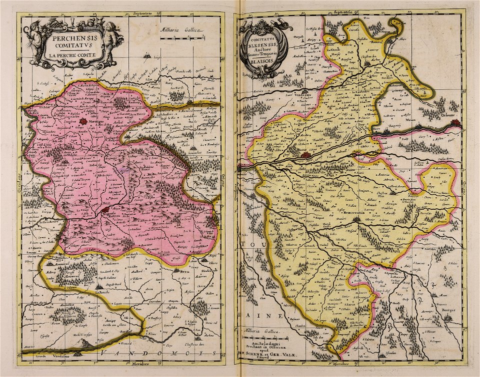
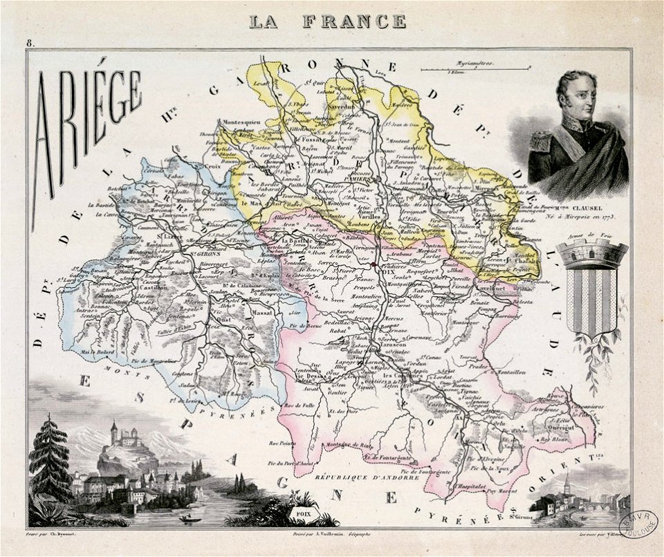
fonds ancely - bibliothèque municipale de toulouse - maps
coats of arms of foix
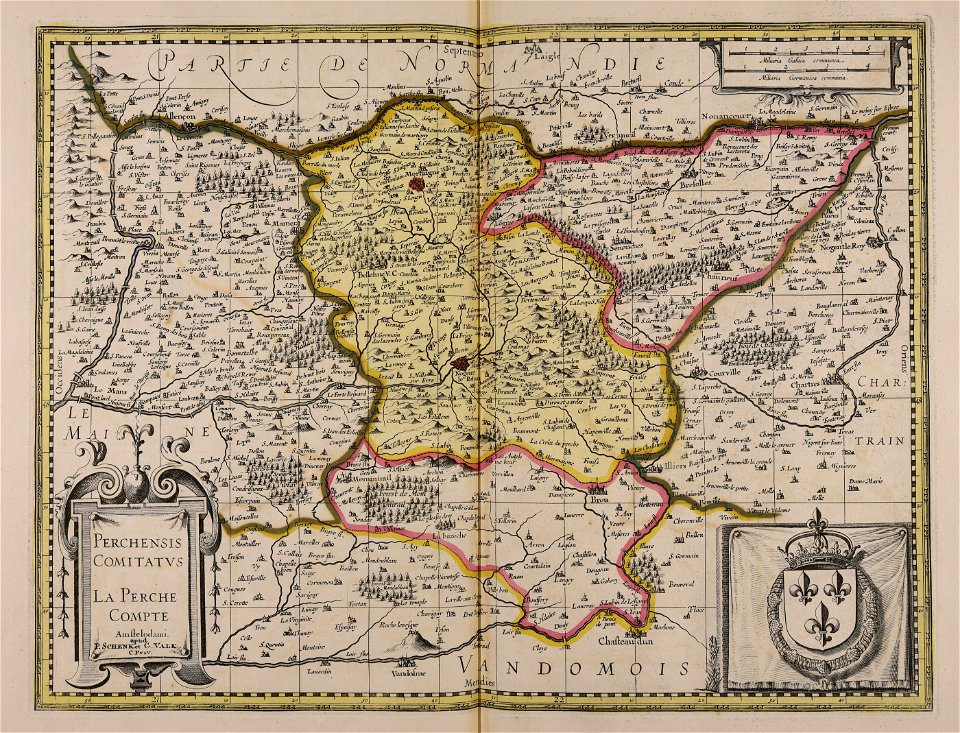
maps with cartouches
atlas van der hagen
maps with cartouches
atlas van der hagen
prints from bonne atlas de toutes les parties at the peace palace library
dien (printer)
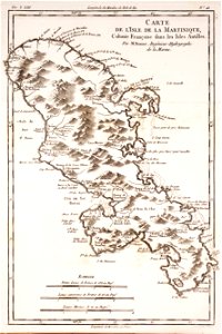
18th-century maps of martinique
dien (printer)
gerard valck
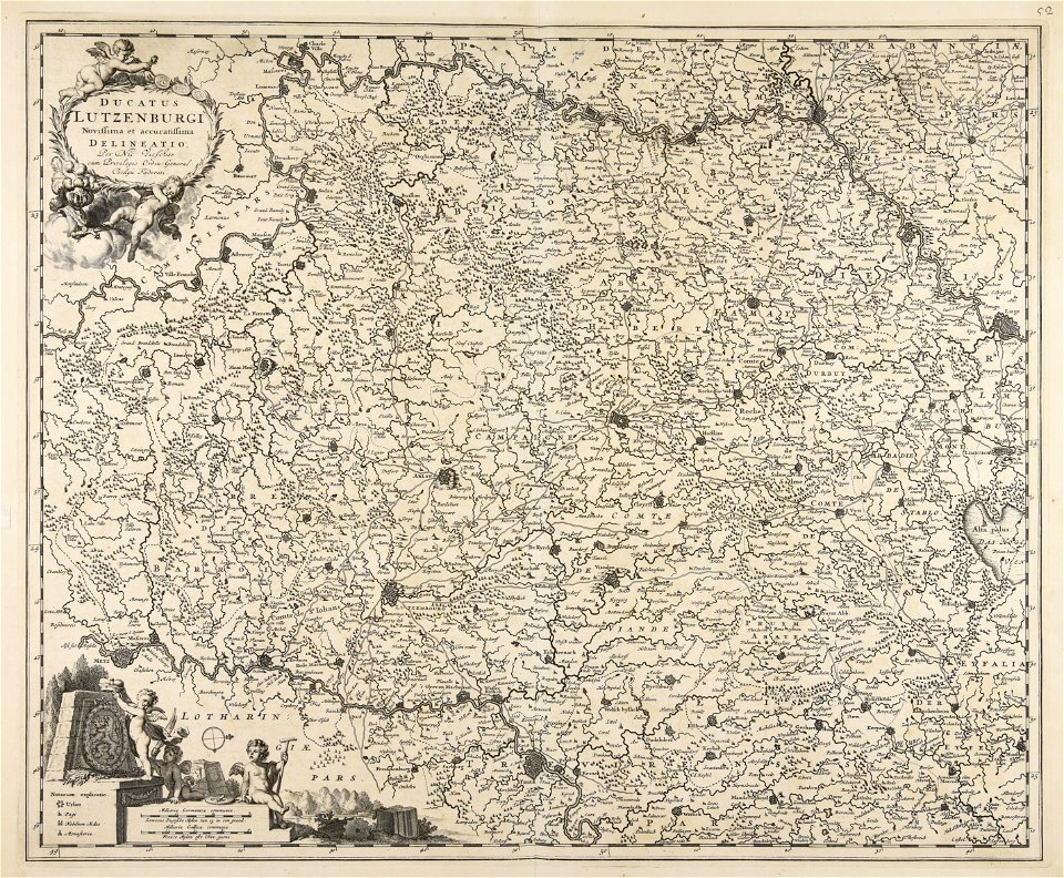
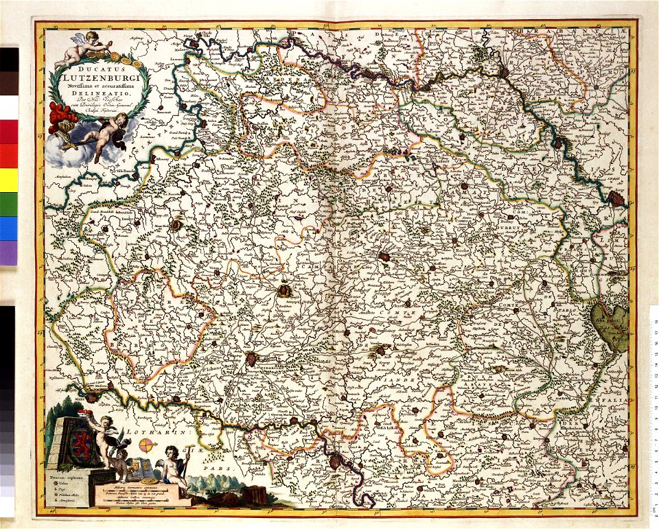
rhineland
maps made in the 17th century
gerard valck
old maps of australia
western australia
coats of arms of cities in hautes-pyrénées
dominique larrey
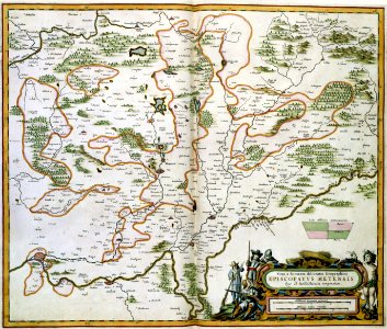
maps made in the 17th century
johann christoph steinberger
maps made in the 18th century
johann baptist homann
maps made in the 18th century
johann baptist homann
maps made in the 18th century
johann baptist homann
maps made in the 18th century
johann baptist homann
maps made in the 18th century
johann baptist homann
maps made in the 18th century
johann baptist homann
maps made in the 18th century
johann baptist homann
7901 - 8000 of 38,808
Next page
/ 389